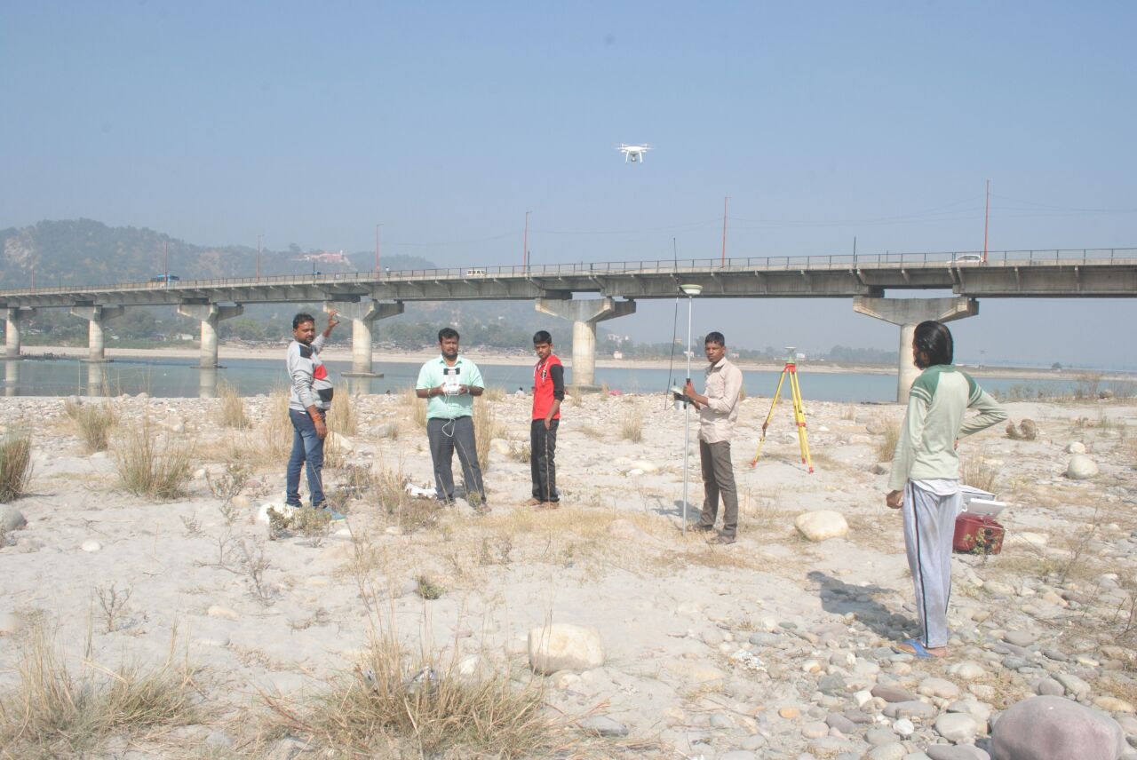
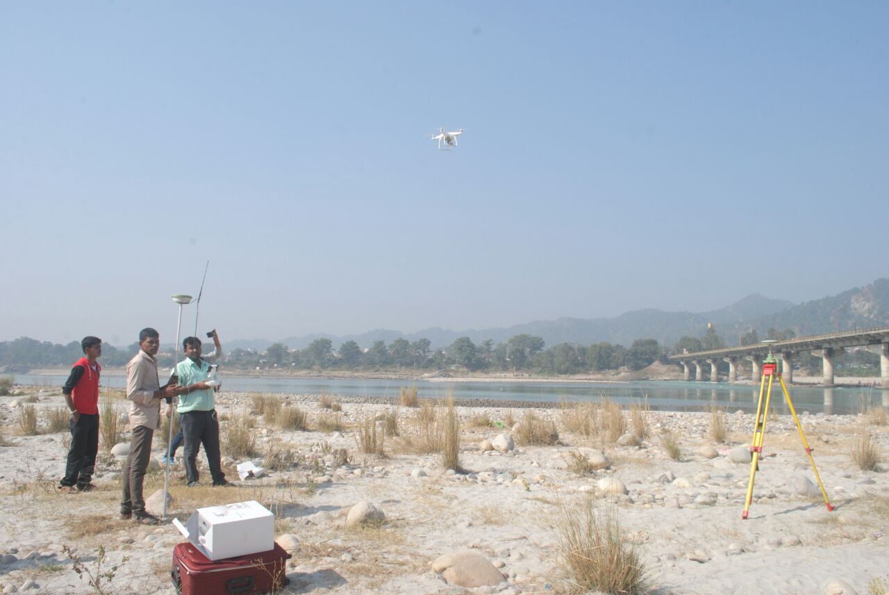
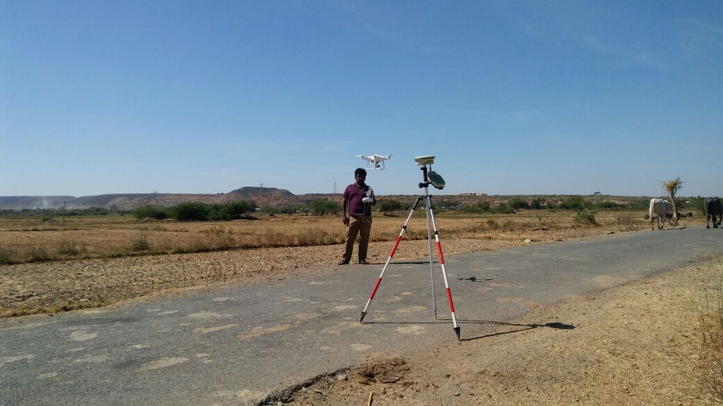
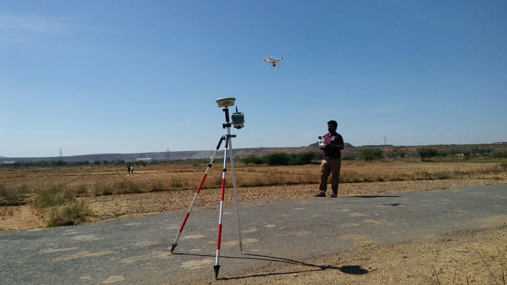
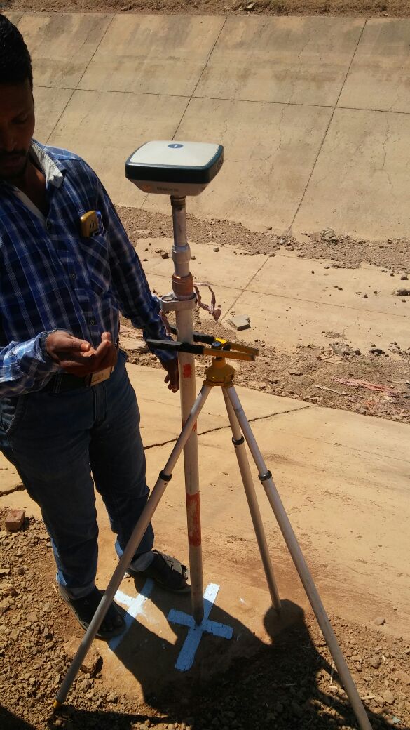
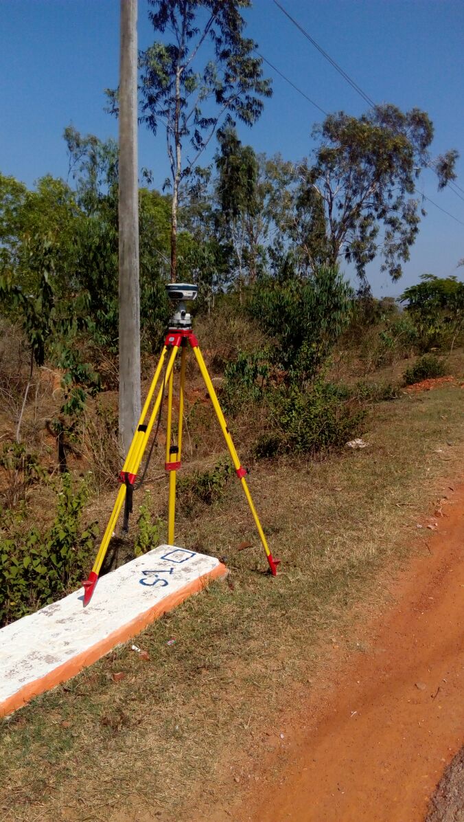
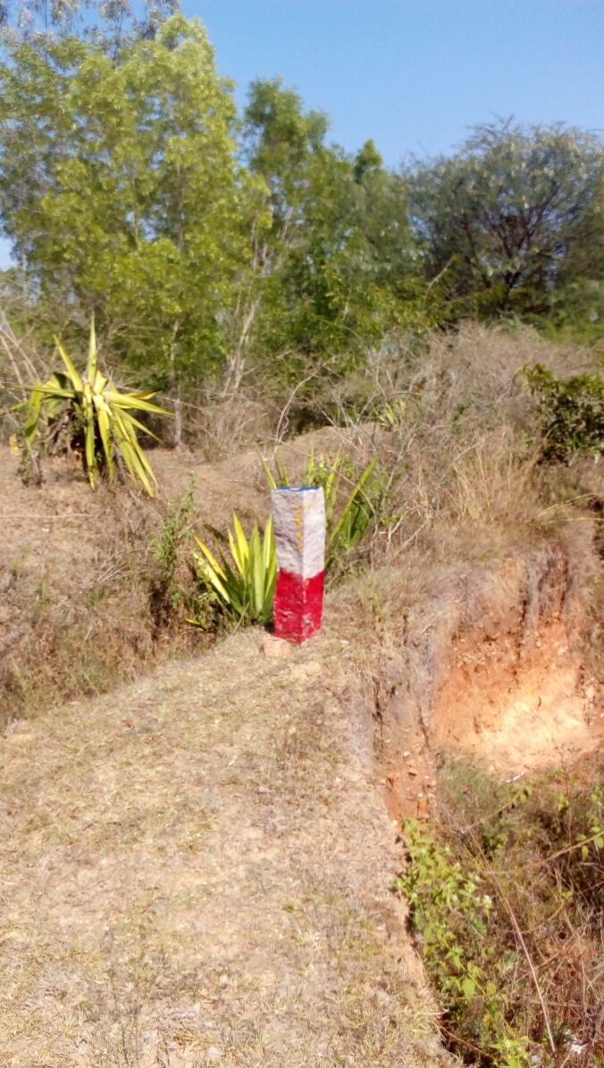
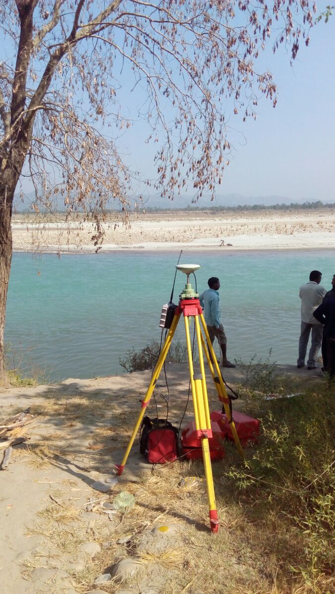
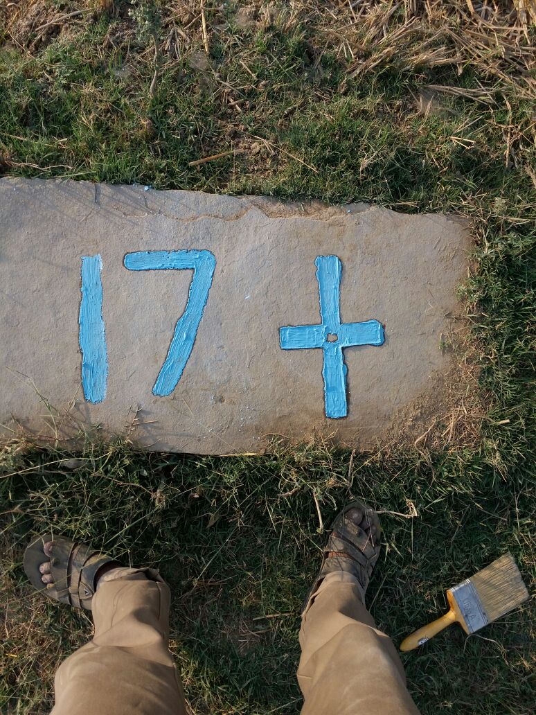
Control Point Survey

Control Point Survey
Control Point Survey

Geotechnical Survey Foundation
- Roads / Route Alignment
- UAV
- LiDAR
- Satellite imager
- Land Marking
- Land Encroachment
- Forest Boundary
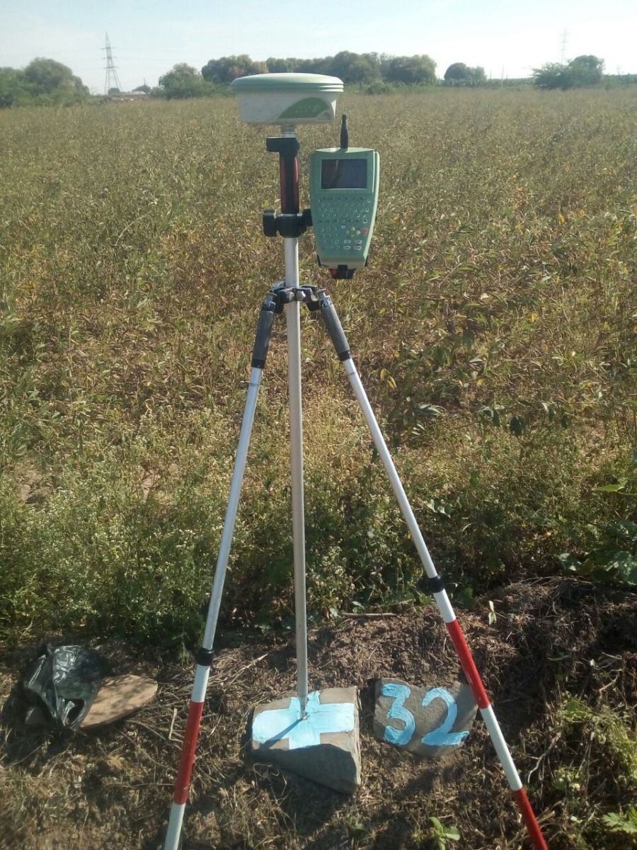
DGPS & control point survey:
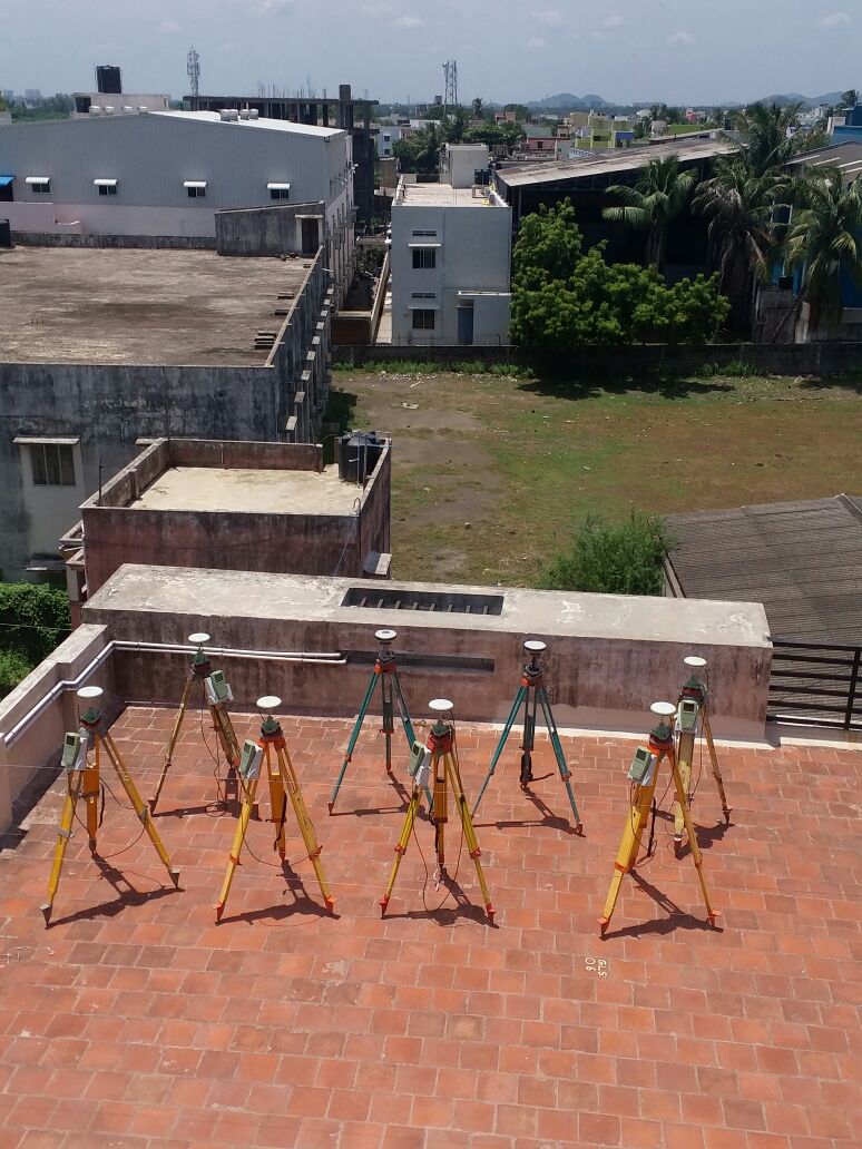
We are one of the leading DGPS Company in India. We have Leica Make GX 1200 Series & SOKKIA Make GRX1 Model ,GSX2 Model Duel Frequency 15Number of GNSS Receivers(DGPS).
Following Method’s doing DGPS Service:
- Static Survey
- Kinematic Survey
- RTK Survey
Control point Network Survey and DGPS Survey & Mapping We are Providing Service:
Following Areas:
- Satellite Image Georefrance
- UAV Survey
- LiDAR (Scanning Areas)
- Airports/Railways/Road Sectors
- Known AMSL Transfer Purpose
- New City / Township Development
- Forrest Boundary’s Mapping
- Mine Boundarys Mapping
Our Team Control Point Establishment for UAV SurveyTamilnadu.

© 2023. Gridline Surveys and Geospatial (P) Ltd copyrights. All Rights Reserved. Designed by Justsee