Control Point Survey
Control Point Survey
Geotechnical Survey Foundation
- Roads / Route Alignment
- UAV
- LiDAR
- Satellite imager
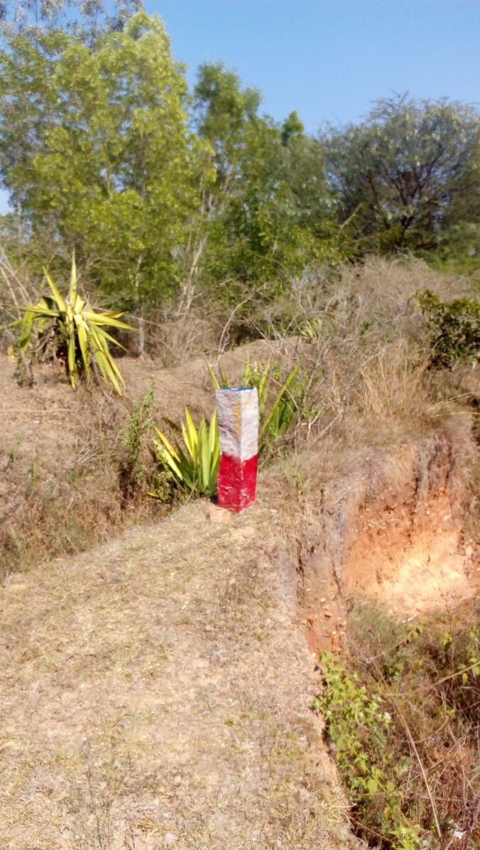
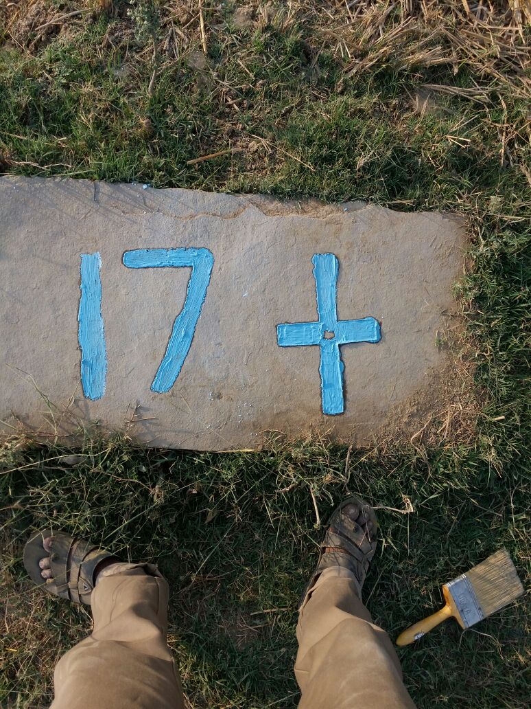
- Land Marking
- Land Encroachment
- Forest Boundary
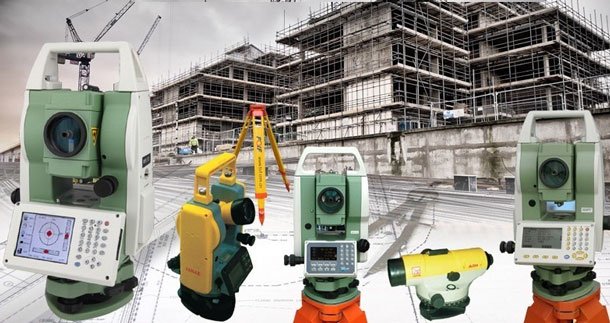
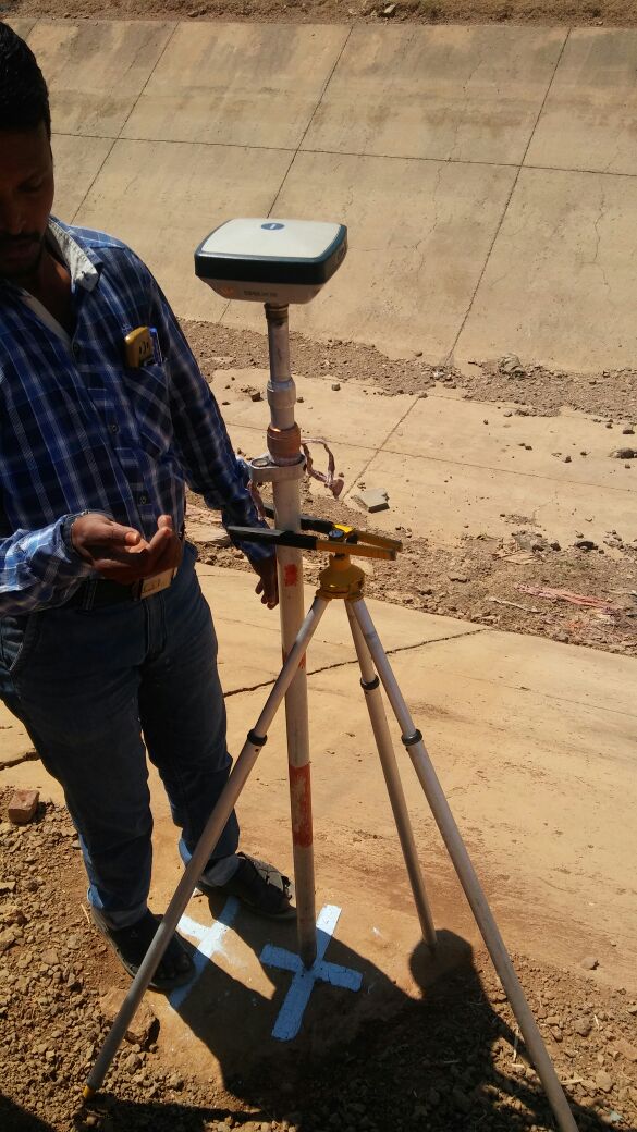
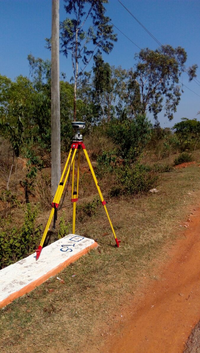
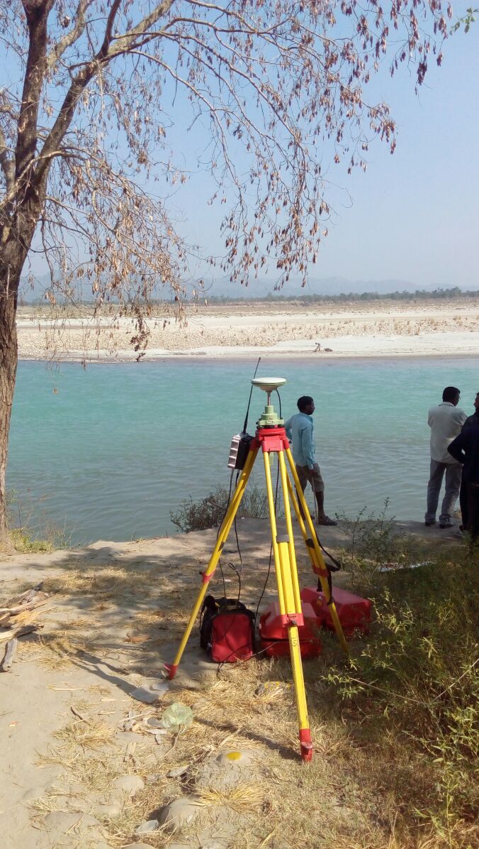
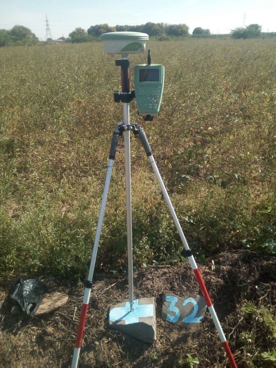
DGPS & control point survey:
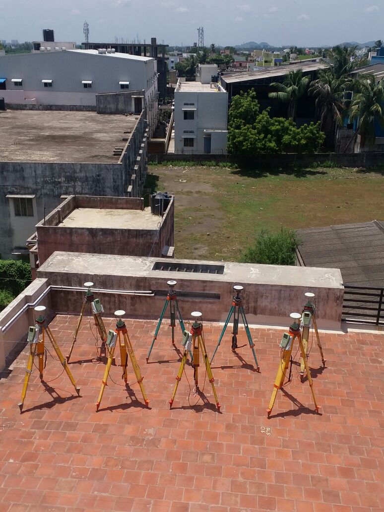
We are one of the leading DGPS Company in India. We have Leica Make GX 1200 Series & SOKKIA Make GRX1 Model ,GSX2 Model Duel Frequency 15Number of GNSS Receivers(DGPS).
Following Method’s doing DGPS Service:
- Static Survey
- Kinematic Survey
- RTK Survey
Control point Network Survey and DGPS Survey & Mapping We are Providing Service:
Following Areas:
- Satellite Image Georefrance
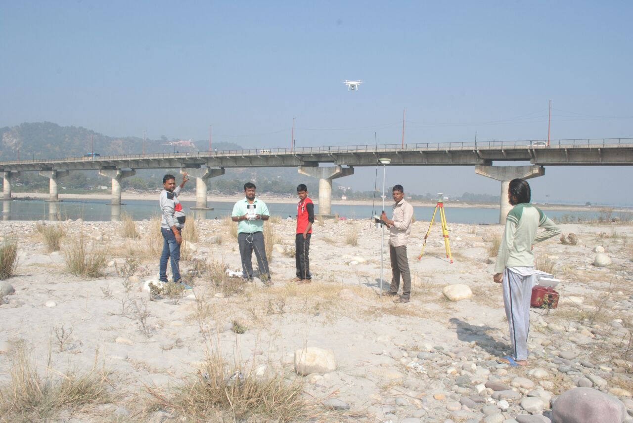
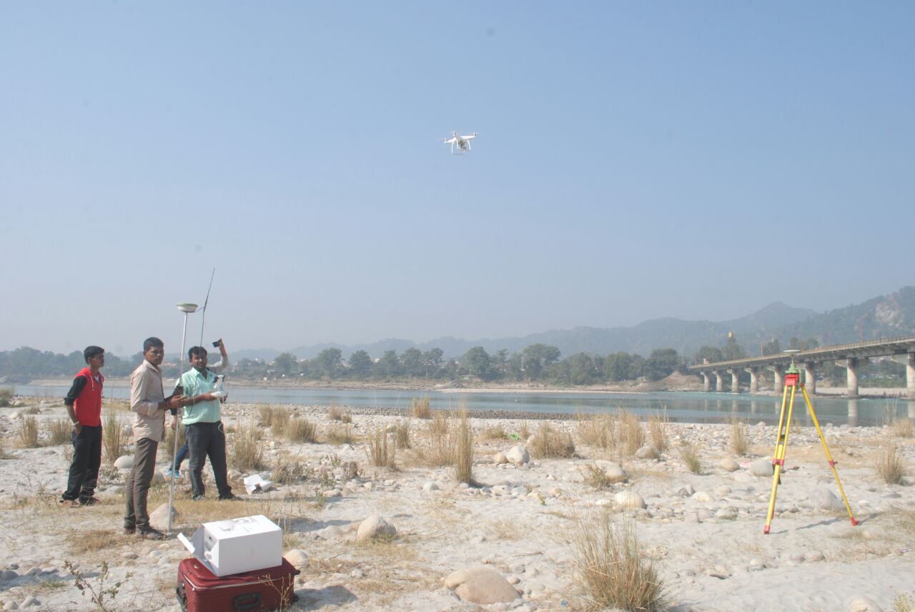
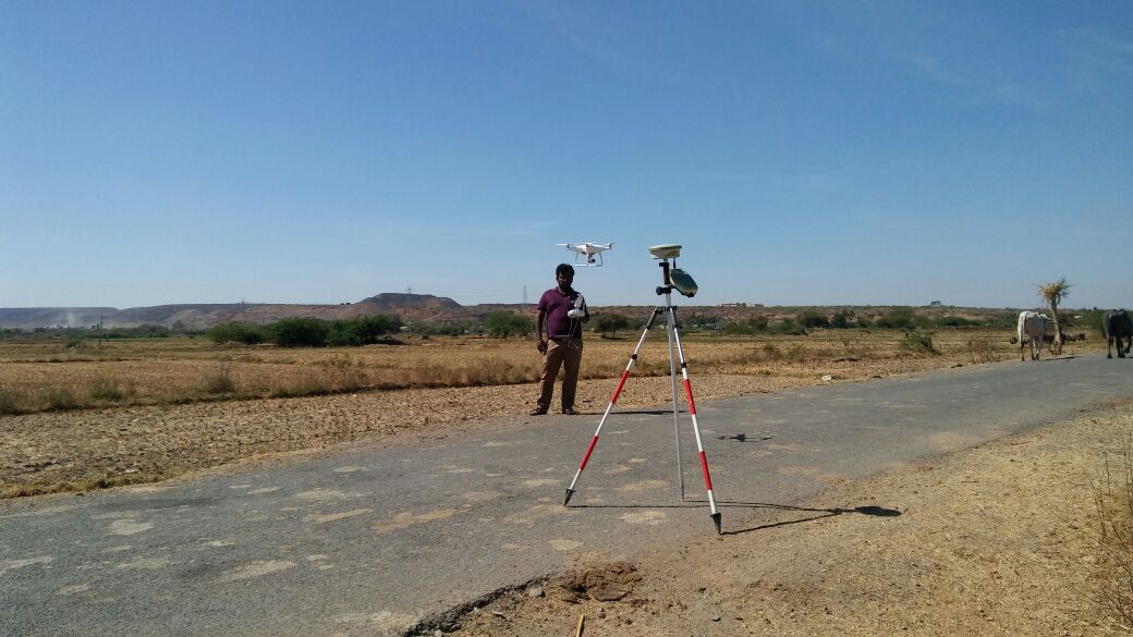
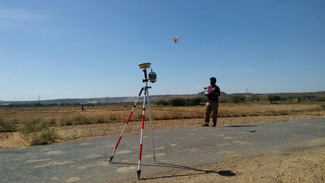
- UAV Survey
- LiDAR (Scanning Areas)
- Airports/Railways/Road Sectors
- Known AMSL Transfer Purpose
- New City / Township Development
- Forrest Boundary’s Mapping
- Mine Boundarys Mapping
Our Team Control Point Establishment for UAV SurveyTamilnadu.

High-Precision Stock Assessment & DGPS Control Point Surveys – Gridline Surveys & Geospatial
Accurate inventory management, definitive land boundaries, and stable coordinate networks form the bedrock of successful infrastructure, mining, and urban development projects. In accurate land markings or flawed volumetric calculations can cause severe financial losses, supply chain delays, and legal disputes. Gridline Surveys and Geospatial Pvt. Ltd. provides the advanced geodetic control and aerial mapping services needed to track your assets and secure your property with absolute certainty.
As a leading firm for Stock Assessment Survey in Chennai, we hold a Government of India Certificate and offer 21 years of field experience across India. Backed by an extensive inventory of high-end geodetic equipment, we convert large-scale landscapes, industrial yards, and deep forests into highly accurate digital data packages.
-
Our Multi-Sector Mapping & Geospatial Solutions
We combine our extensive DGPS capabilities with advanced aerial and remote sensing technologies to serve diverse industrial sectors:
-
High-Accuracy Stock Assessment Surveys
Managing large-scale inventories for raw materials, coal yards, mineral dumps, and open-cast quarries requires precision. We conduct specialized stock assessment surveys using high-density LiDAR scanning and UAV (Drone) photogrammetry. We generate precise 3D surface models to accurately calculate inventory volumes, protecting your business against material variance and audit errors.
-
Infrastructure & Transit Corridors (Roads, Railways, Airports)
Linear civil projects cross complex terrain over long distances. We establish robust control point networks for major infrastructure developments, including airports, railways, and road sectors. Our geodetic networks keep route alignments perfectly on their designed paths, map runway obstructions, and facilitate highly reliable track design.
-
Satellite Image Georeferencing & Spatial Adjustments
We tie large-scale remote sensing datasets to exact real-world coordinates. By tracking precise ground control points with our dual-frequency DGPS receivers, we georeference raw satellite imagery and aerial maps, turning standard pictures into authoritative, layers-ready GIS datasets.
-
Known AMSL Reference Transfers
When constructing deep foundations, establishing drainage systems, or applying for aviation clearances, knowing your exact height relative to sea level is vital. We perform precise Known AMSL (Above Mean Sea Level) Transfers from official benchmarks directly to your project site, keeping your structural levels completely secure.
-
Land Management, Encroachment Audits & Forestry
Land Marking & Layouts: Demarcating pristine boundary lines for massive new cities, mega industrial zones, and major township developments.
Encroachment Identification: Spotting illegal property changes or unauthorized structural expansions by comparing current real-world coordinates against legacy revenue maps.
Forest & Mine Boundary Mapping: Outlining undisputed legal boundaries across steep hills, deep mines, and dense forest canopies to protect natural reserves and secure mining leases.
-
Geotechnical Survey Foundation Support
Before structural engineering teams design massive foundations, they need exact spatial coordinates and topography. We work hand-in-hand with engineering teams, supply precise grid alignments for exploratory drill holes, and map changing surface elevations to ensure your structural foundations rest on solid data.
Why Gridline Surveys is Chennai’s Preferred Geospatial Partner
Selecting Gridline Surveys for your stock assessment survey in Chennai ensures your field data stands up to the closest official scrutiny:
- 21+ Years of Field Foundations:
Over two decades of on-site operations means our surveyors know how to manage coastal weather, changing soils, and dense urban environments smoothly.
- Massive Fleet Capacity:
Operating 15 dedicated dual-frequency GNSS receivers means we can scale up, mobilize instantly, and run massive multi-team surveys across multiple locations concurrently.
- Government Certified Standing:
Our official credentials ensure that all generated volume certificates, boundary maps, and geodetic reference systems comply fully with state, municipal, and corporate audit rules.
Secure Pinpoint Accuracy for Your Next Venture
Do not leave your inventory volumes, land markings, or corridor baselines to guesswork. Partner with Chennai's trusted geodetic control and stock assessment experts to run your operations with absolute confidence.
© 2023. Gridline Surveys and Geospatial (P) Ltd copyrights. All Rights Reserved. Designed by Justsee