ULB Survey
ULB Survey
Comprehensive ULB Survey Services in Chennai – Gridline Surveys & Geospatial
Managing rapidly expanding cities requires a deep, accurate understanding of municipal assets, underground utility lines, and tax properties. For Urban Local Bodies (ULBs) such as corporations, municipalities, and town panchayats, incomplete or outdated spatial data stalls public infrastructure projects, reduces tax revenue collection, and delays smart city initiatives. Gridline Surveys and Geospatial Pvt. Ltd. delivers the high-precision geodetic control and geographic information system (GIS) data needed to modernize municipal administration. As a premier agency for a ULB Survey in Chennai, our firm carries a Government of India Certificate and provides 21 years of field experience across India. We combine advanced drone photogrammetry, terrestrial mapping, and deep geospatial database expertise to help municipal councils transform raw urban landscapes into clear, highly functional digital municipal maps.
As a premier Hydrology Surveyor in Chennai holding an official Government of India Certificate and backed by 21 years of field experience, we serve industrial, municipal, and private clients throughout India. We merge precise topographic surveys with advanced hydraulic engineering to deliver accurate, audit-ready water flow analyses.
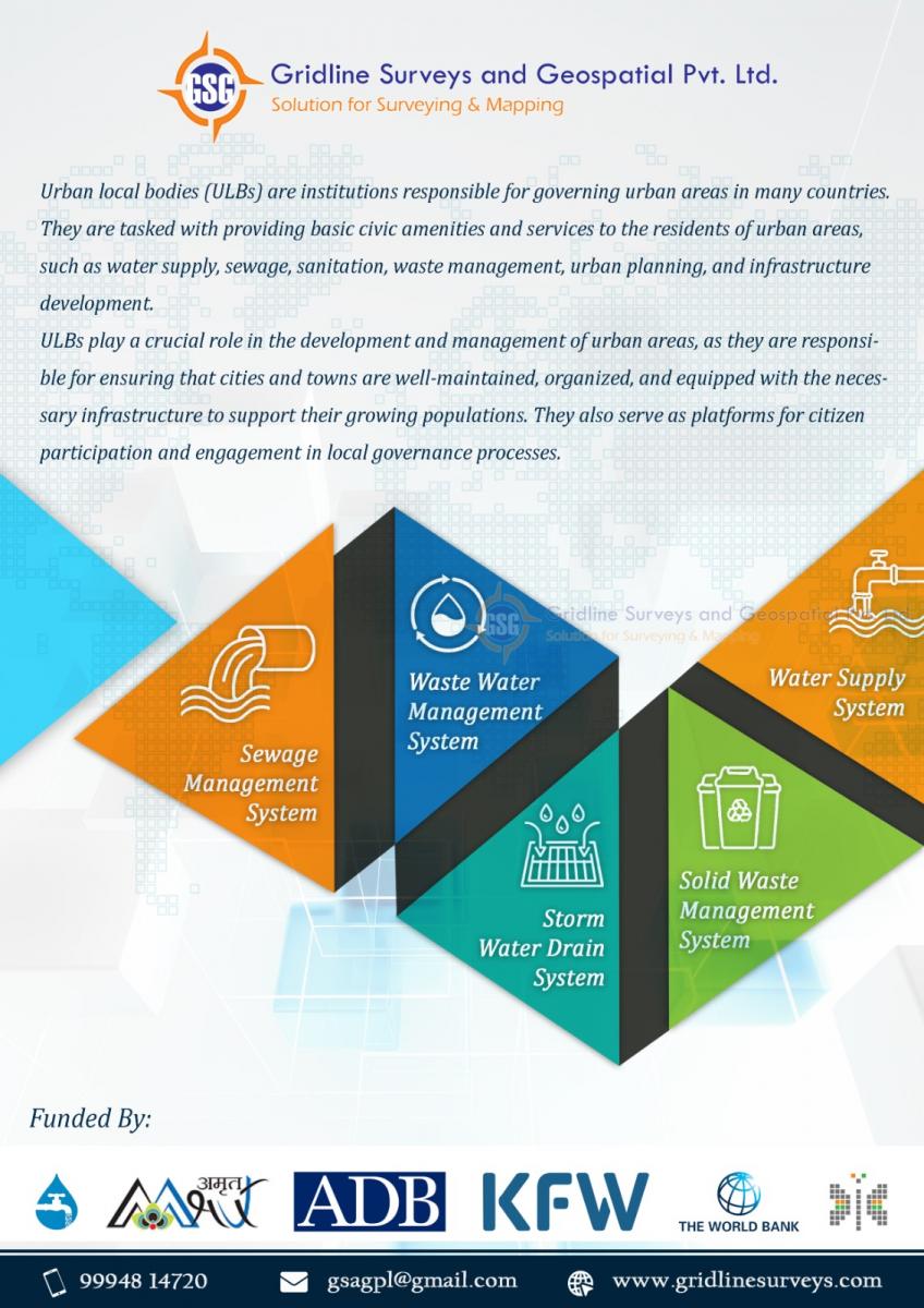
Technical Mapping Solutions for Modern Urban Local Bodies
Managing a modern municipality demands highly accurate spatial workflows that link physical assets with administrative records. Our specialized teams support ULB administrations through targeted technical solutions:
-
GIS-Based Property & Tax Assessment Mapping
Expanding municipal revenue streams depends on identifying unregistered land modifications and unassessed properties. We conduct exhaustive property surveys that link spatial boundaries with municipal records.
Property Footprint Verification: Utilizing high-resolution aerial imagery and DGPS ground surveys to map precise building boundaries.
Change Detection Audits: Identifying unauthorized structural vertical floors or horizontal expansions by comparing current spatial maps with older tax registries.
Database Integration: Linking tax assessments directly to a centralized GIS platform, allowing tax officers to instantly track collection data across municipal wards.
-
Digital Asset Mapping & Utility Inventories
A city cannot maintain infrastructure it cannot see. We map out public utilities and municipal assets to create highly accurate master registries.
Street Utility Mapping: Pinpointing the exact geographic coordinates of streetlights, water valves, public taps, transformer posts, and waste bins.
Underground Utility Tracking: Aligning with excavation and ground-penetrating radar teams to map buried stormwater networks, water distribution lines, and electrical conduits.
Maintenance Planning: Providing geo-tagged asset locations to help municipal maintenance teams track infrastructure conditions and reduce repair response times.
-
Urban Road Design, Drainage & Alignment Surveys
Urban streets must withstand continuous heavy traffic and handle severe monsoon rainwater runoff without flooding. We deliver precise topographic data for ULB road design and estimates. We map existing road centerlines, measure accurate pavement widths, and chart terrain elevations. This data allows engineers to plan effective road overlays, design functional sidewalk curves, and map gravity-led storm drains that eliminate chronic urban waterlogging.
-
Smart City Infrastructure & New Township Master Planning
When cities expand into new territories, planning teams require highly accurate base maps to design future neighborhoods safely. We conduct large-scale topographic and boundary mapping for new township developments, civic bus stands, and municipal parks. We establish highly stable DGPS base benchmarks across development zones, ensuring that separate contracting crews construct utilities, roadways, and public buildings on perfectly aligned coordinate grids.
Why Gridline Surveys is Chennai’s Preferred ULB Survey Partner
Selecting the right partner for a municipal ULB survey in Chennai directly impacts data accuracy, regulatory compliance, and project timeline predictability.
- 21+ Years of Local Urban Experience:
We understand Chennai's complex urban layouts, dense historic wards, and unique coastal terrain challenges intimately.
- Government Certified Standing:
Our official credentials ensure that all generated ward maps, asset registries, and infrastructure designs carry the legal authority required for government funding approvals and statutory clearances.
- Massive Field Fleet:
Operating 15 dual-frequency GNSS receivers and an advanced array of electronic Total Stations allows us to deploy multiple field teams simultaneously, executing large-scale municipal mapping projects ahead of schedule.
Modernize Your Municipal Infrastructure with Absolute Precision
Do not let outdated maps or unverified asset registries slow down your public infrastructure developments or revenue audits. Partner with Chennai's trusted geodetic and municipal mapping experts to guide your administrative projects forward with complete data clarity.
© 2023. Gridline Surveys and Geospatial (P) Ltd copyrights. All Rights Reserved. Designed by Justsee