UAV Survey
UAV Survey
- ULB - Urban Local Bodies Mapping Complete Asset and Utility (Water/Sewage/Strom Water Drain/Solid Waste etc )
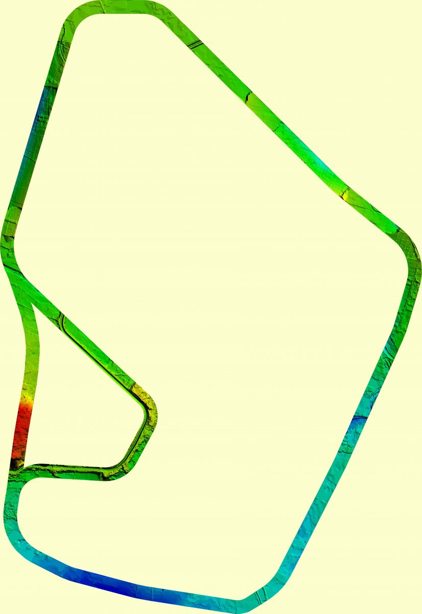
- Railways - Bridge Inspections ,Progress Monitoring Periodically & Proposed Alignment Detail Survey for DPR Preparation Works
- Roads - Proposed Alignment Detail Survey for DPR Preparation Works
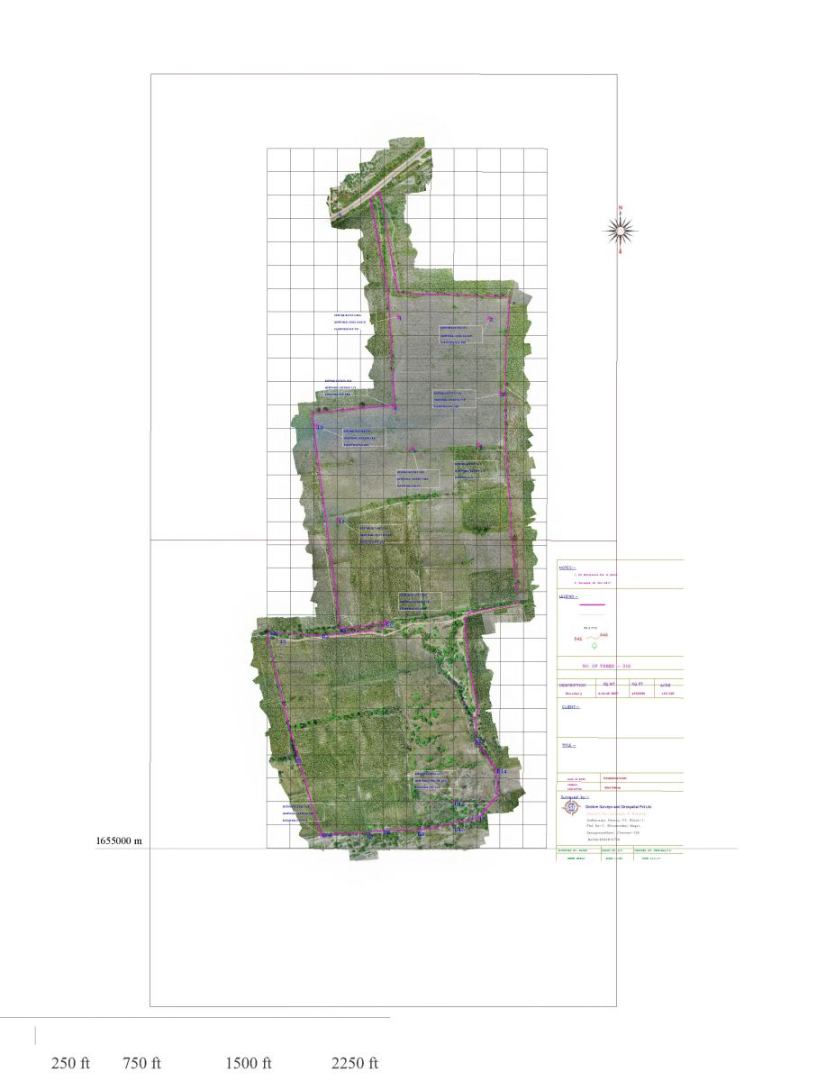
- Land- Land Management for Area and Encroachment Identification etc
- Mines – As Per IBM Specification Drone Survey of Mines and Volume calculations etc.

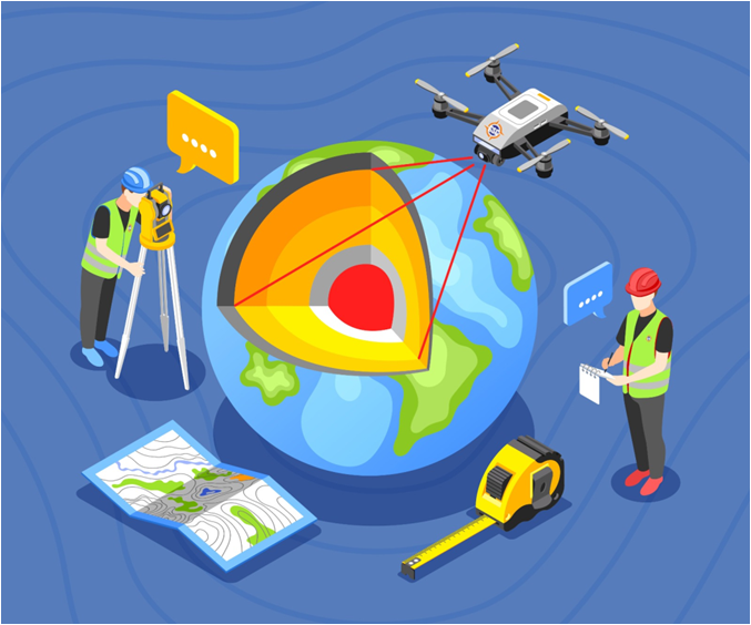
Advanced UAV, Drone & LiDAR Survey Services in Chennai – Gridline Surveys & Geospatial
Managing large-scale infrastructure, open-cast mines, or sprawling urban developments through traditional ground surveying can be incredibly slow, expensive, and logistically challenging. Terrain obstacles, dense vegetation, and hard-to-reach structures often delay critical design choices. Gridline Surveys and Geospatial Pvt. Ltd. solves these challenges by combining traditional surveying accuracy with cutting-edge aerial technology.
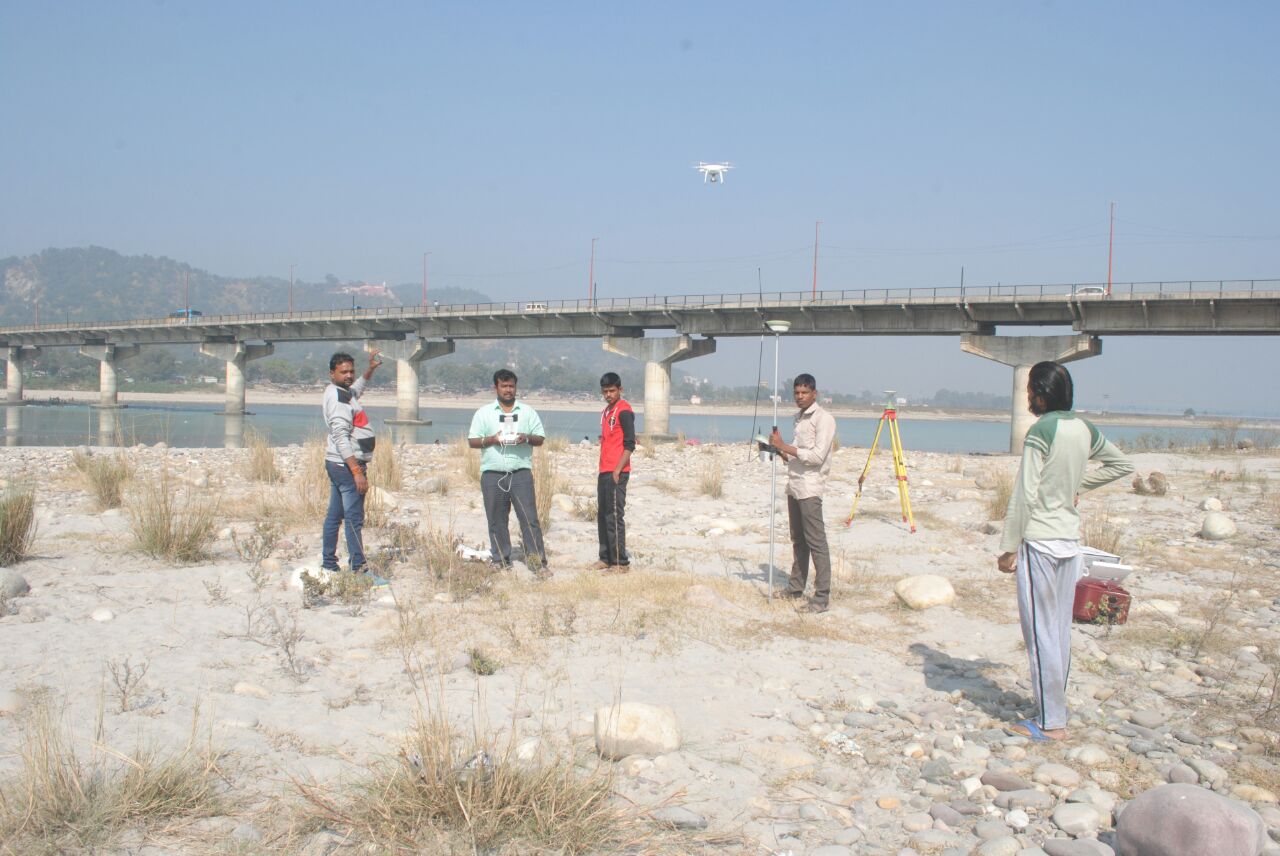
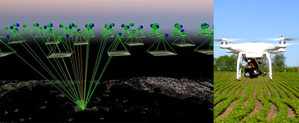
As a premier provider of UAV Survey in Chennai backed by a Government of India Certificate and 21 years of field experience, we deliver high-accuracy aerial insights across India. Utilizing next-generation Unmanned Aerial Vehicles (UAVs), professional drone photogrammetry, and aerial LiDAR survey instruments, we collect millions of precise 3D data points in a fraction of the time required by ground crews.
High-Precision Aerial Geospatial Solutions
Aerial data only provides true engineering value when captured using professional equipment and processed through rigorous geodetic standards. Our certified drone operations support key industrial sectors:
-
Urban Local Bodies (ULB) Mapping & Asset Management
Smart city administration demands a crystal-clear understanding of public assets. We provide comprehensive aerial mapping for Urban Local Bodies (ULBs) to digitize and manage extensive municipal infrastructure.
Complete Asset Mapping: Building highly detailed base maps to identify property boundaries, pavements, public buildings, and green cover.
Utility Tracing Support: Gathering high-resolution surface visuals to accurately map and manage water distribution, sewerage layouts, stormwater drains, and solid waste facilities.
-
Railway Infrastructure & Bridge Inspections
Railway projects demand continuous, high-precision monitoring across vast distances:
Bridge Inspections: Deploying specialized UAVs to visually inspect tall piers, steel trusses, and concrete arches without putting field crews at risk.
Periodic Progress Monitoring: Capturing regular, high-resolution aerial updates to verify work timelines and track material movements.
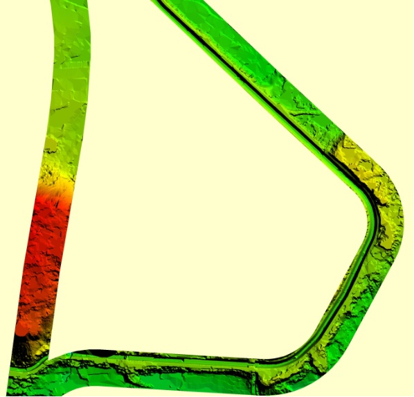
Proposed Alignment Surveys: Delivering high-density 3D digital terrain models (DTM) for Detailed Project Report (DPR) preparation, ensuring new track designs navigate landscape challenges smoothly.
-
Road & Highway Route Alignment
Planning major highway expansions or greenfield expressways requires comprehensive terrain intelligence. Our drone and LiDAR surveys fly proposed transportation corridors to capture incredibly accurate topographic maps. This data allows engineering teams to optimize route alignments, plan perfect drainage features, and calculate precise earthwork (cut-and-fill) volumes before construction begins.
-
Smart Land Management & Encroachment Identification
Protecting valuable real estate assets against unauthorized access is a constant challenge for corporate and government landowners. Our high-resolution aerial survey solutions make land management simple:
Area Verification: Measuring the precise boundary limits of vast corporate land banks or government holdings.
Encroachment Detection: Comparing current high-resolution drone maps against legacy cadastral records to immediately flag illegal structures, unauthorized farming, or fence movements.
-
IBM-Compliant Mining & Volume Calculations
Operating an active quarry or open-cast mine requires precise, legally compliant tracking. We deliver fully automated aerial inspections customized to strict Indian Bureau of Mines (IBM) Specifications.
Volumetric Analysis: Generating highly precise 3D point clouds to accurately calculate stock pile volumes, overburden dumps, and pit extraction rates.
Legal Compliance: Operating under total regulatory safety with DGCA-approved drones and licensed commercial pilots, ensuring your aerial data stands up to strict audit inspections.
Why Choose Gridline Surveys for UAV & LiDAR Work?
Selecting the right partner for drone surveying in Chennai determines the safety and overall precision of your project data.
- 21+ Years of Geospatial Foundation:
We don't just fly drones; we are seasoned geodetic surveyors. We place highly precise physical Ground Control Points (GCPs) across the site before takeoff, ensuring our aerial maps align perfectly with real-world coordinates.
- Advanced Technology Stack:
We eliminate guesswork by deploying high-end RTK/PPK enabled drones, specialized multispectral sensors, and aerial LiDAR capable of penetrating heavy forest canopies to reveal true ground elevations.
- Certified and Insured Operations:
Rest easy knowing all operations strictly follow the latest civil aviation guidelines, utilizing certified commercial hardware and fully authorized workflows.
Bring Rapid Aerial Precision to Your Next Site
Do not let challenging terrain or slow data collection stall your engineering timelines. Partner with Chennai's trusted drone and aerial mapping experts to scan, measure, and analyze your project layout with complete clarity.
© 2023. Gridline Surveys and Geospatial (P) Ltd copyrights. All Rights Reserved. Designed by Justsee